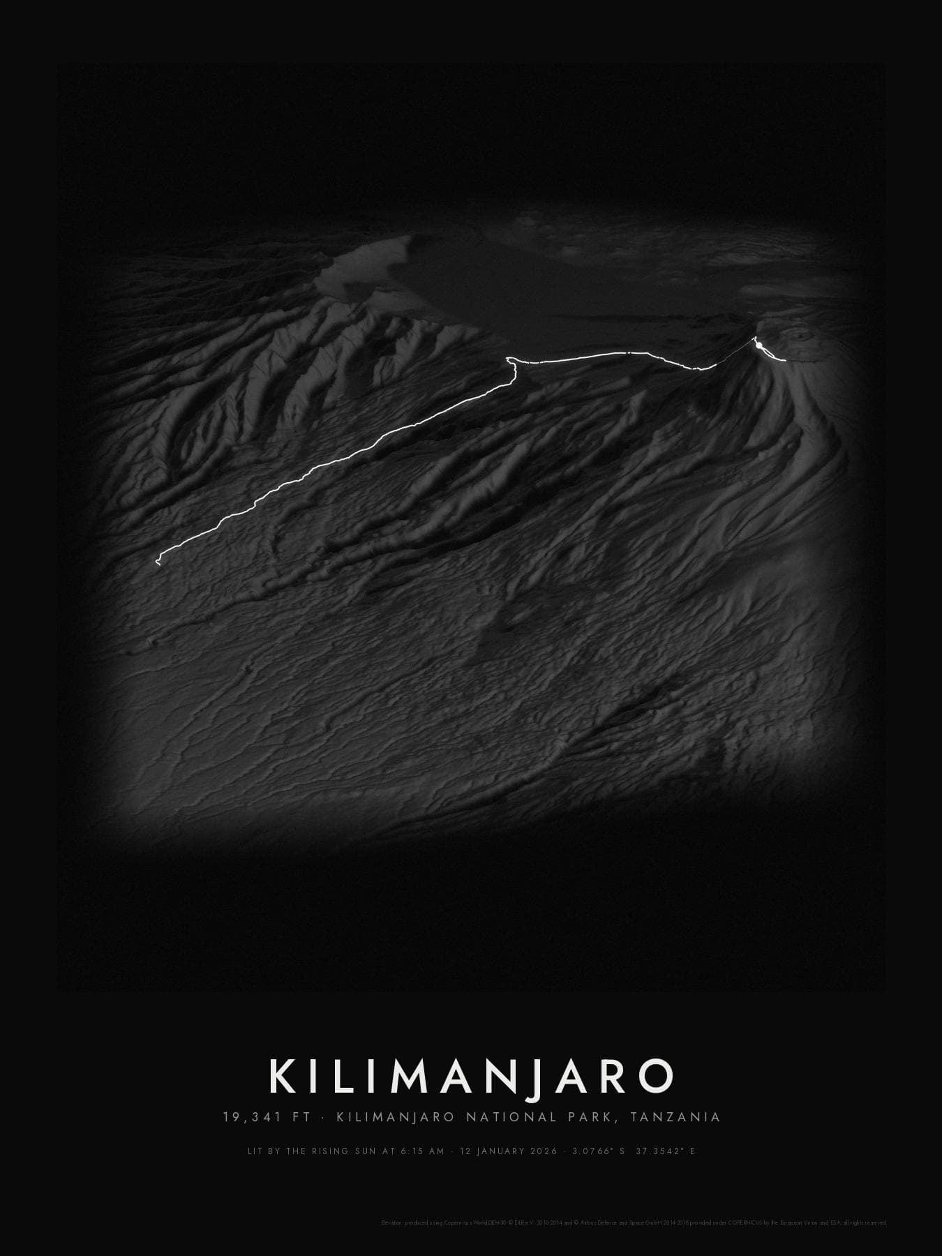
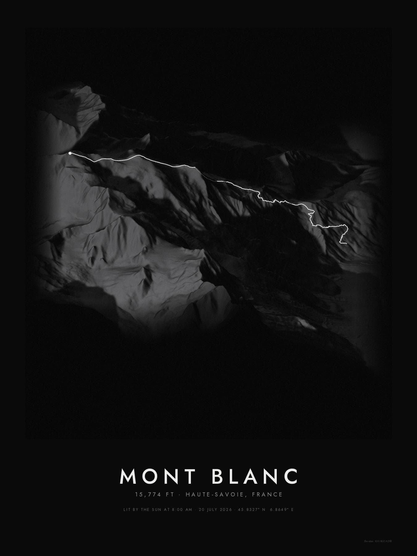
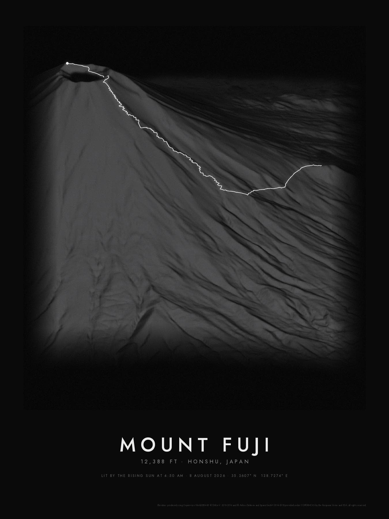
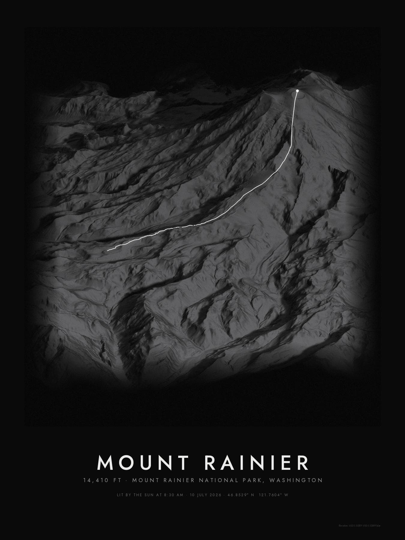
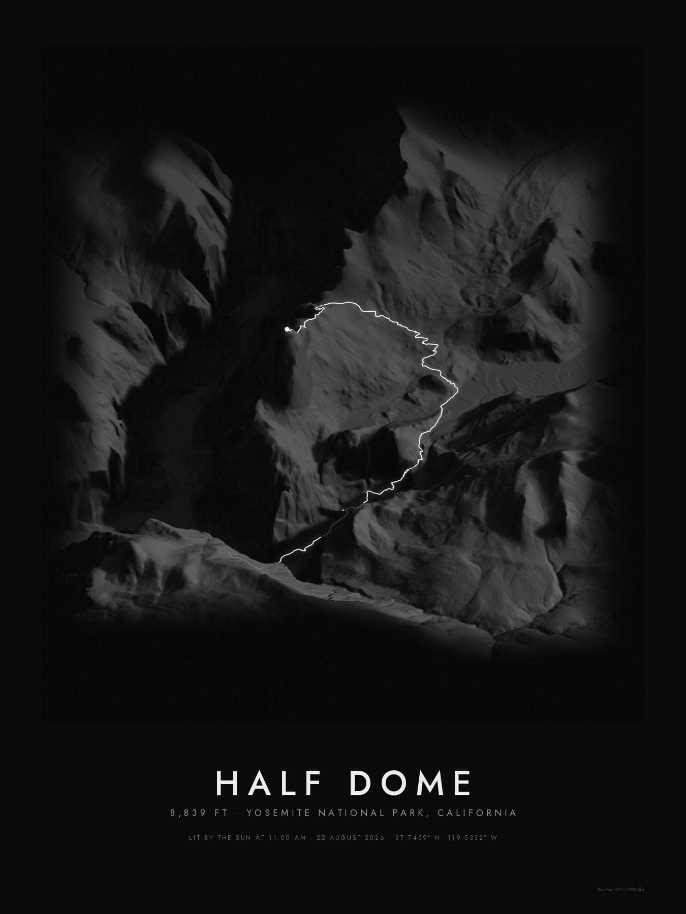
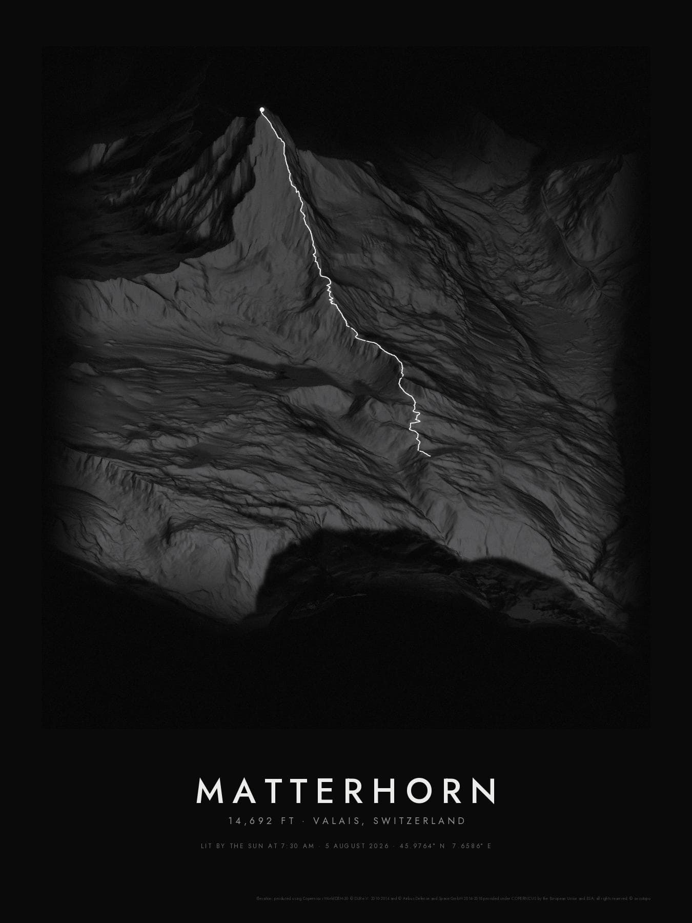
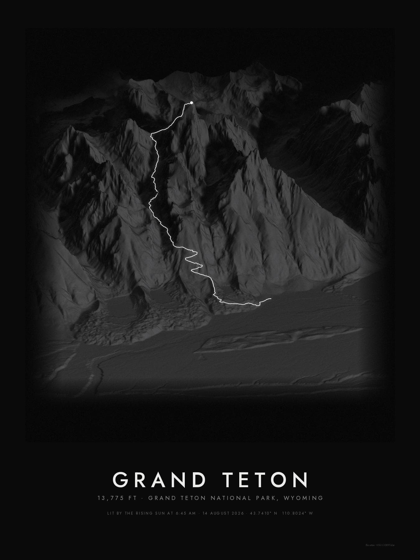
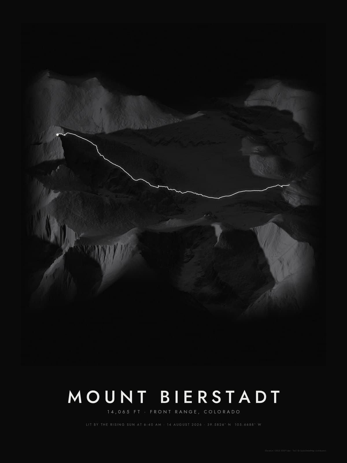
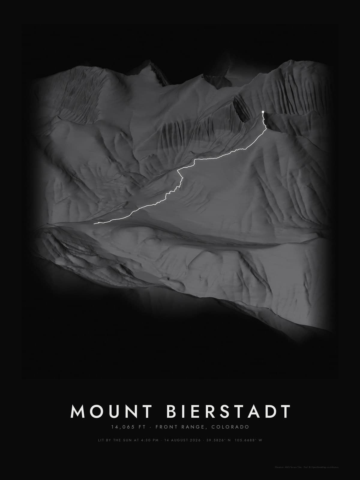
From trailhead to summit. Every switchback on your wall.

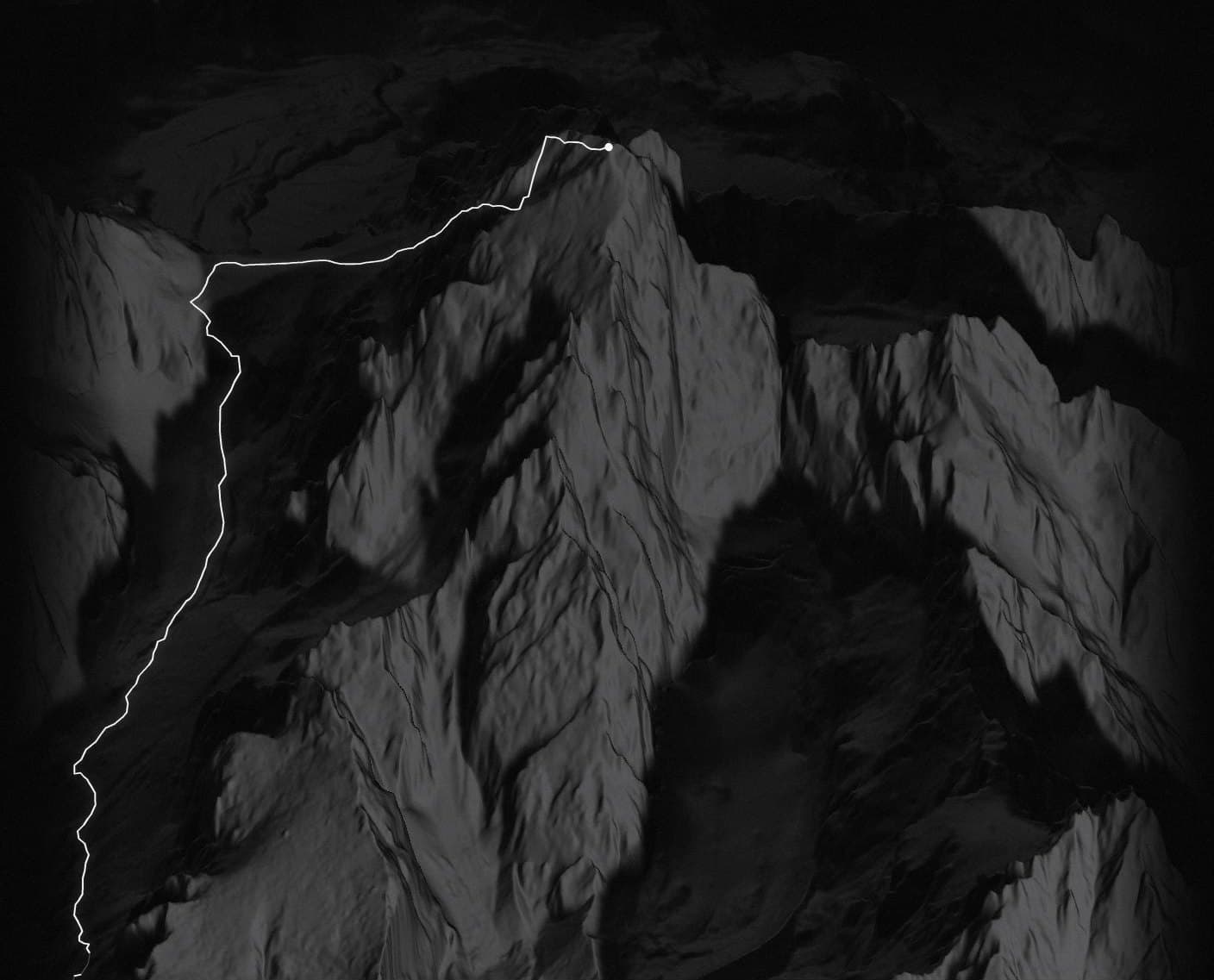
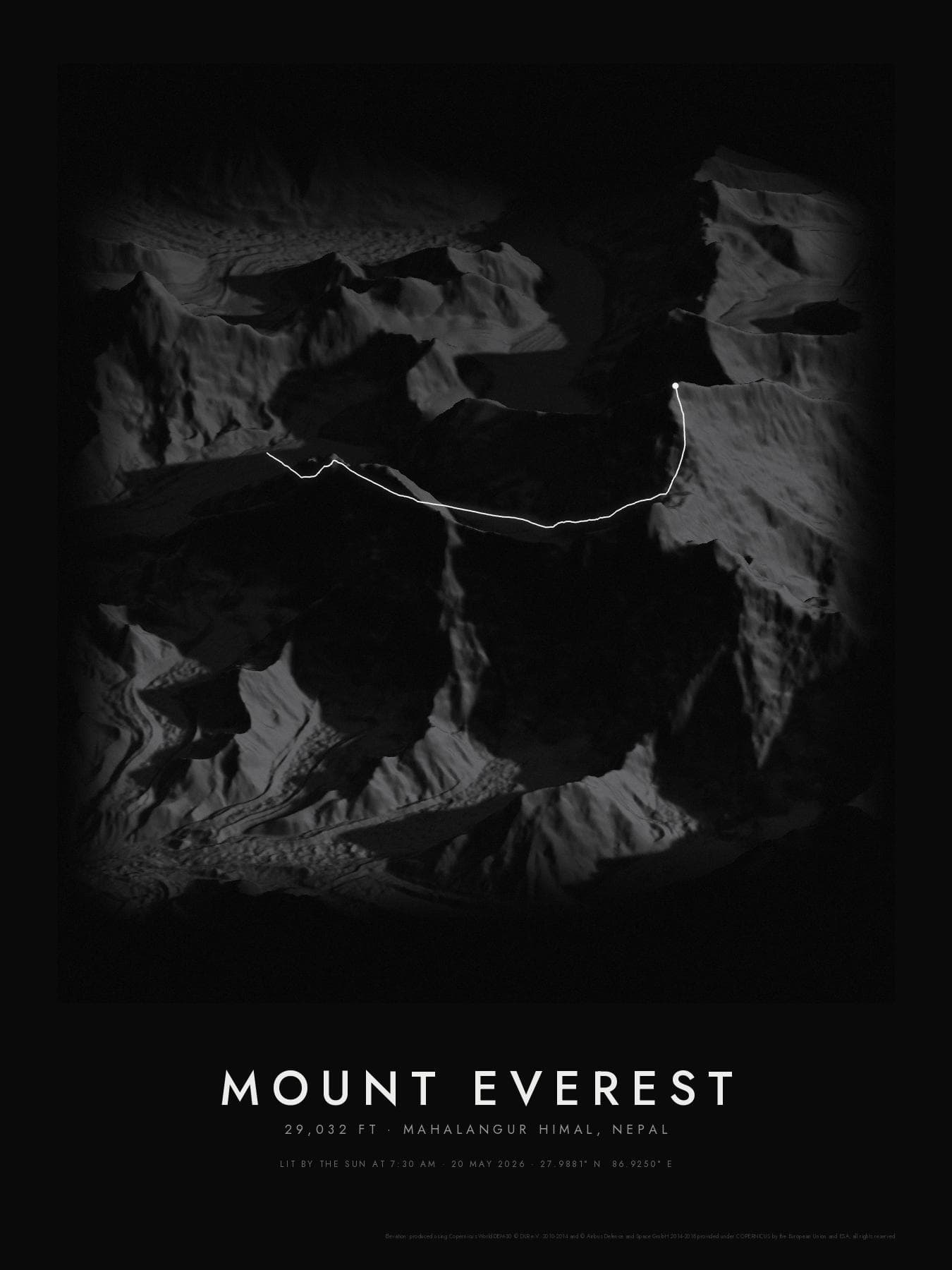
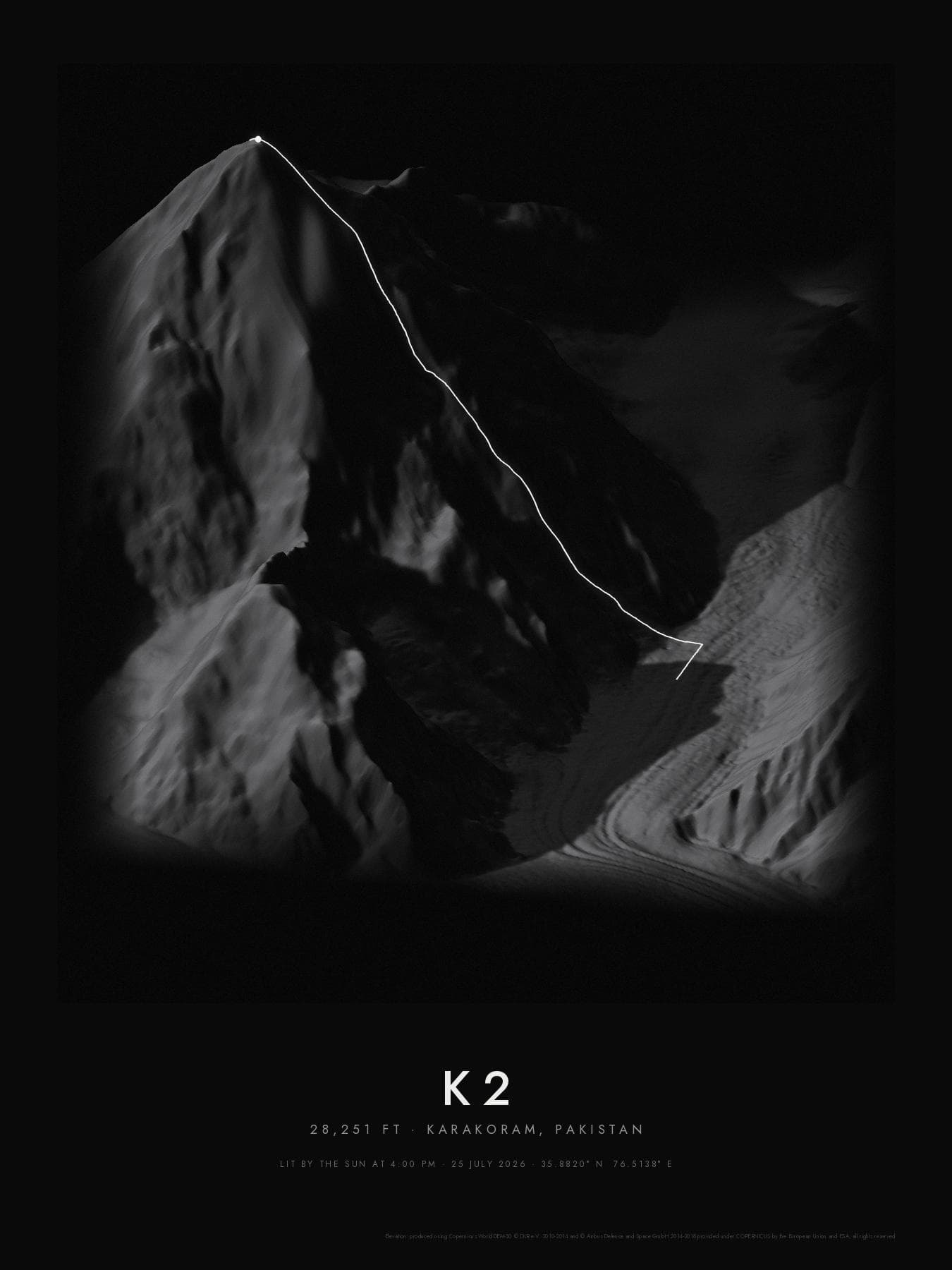
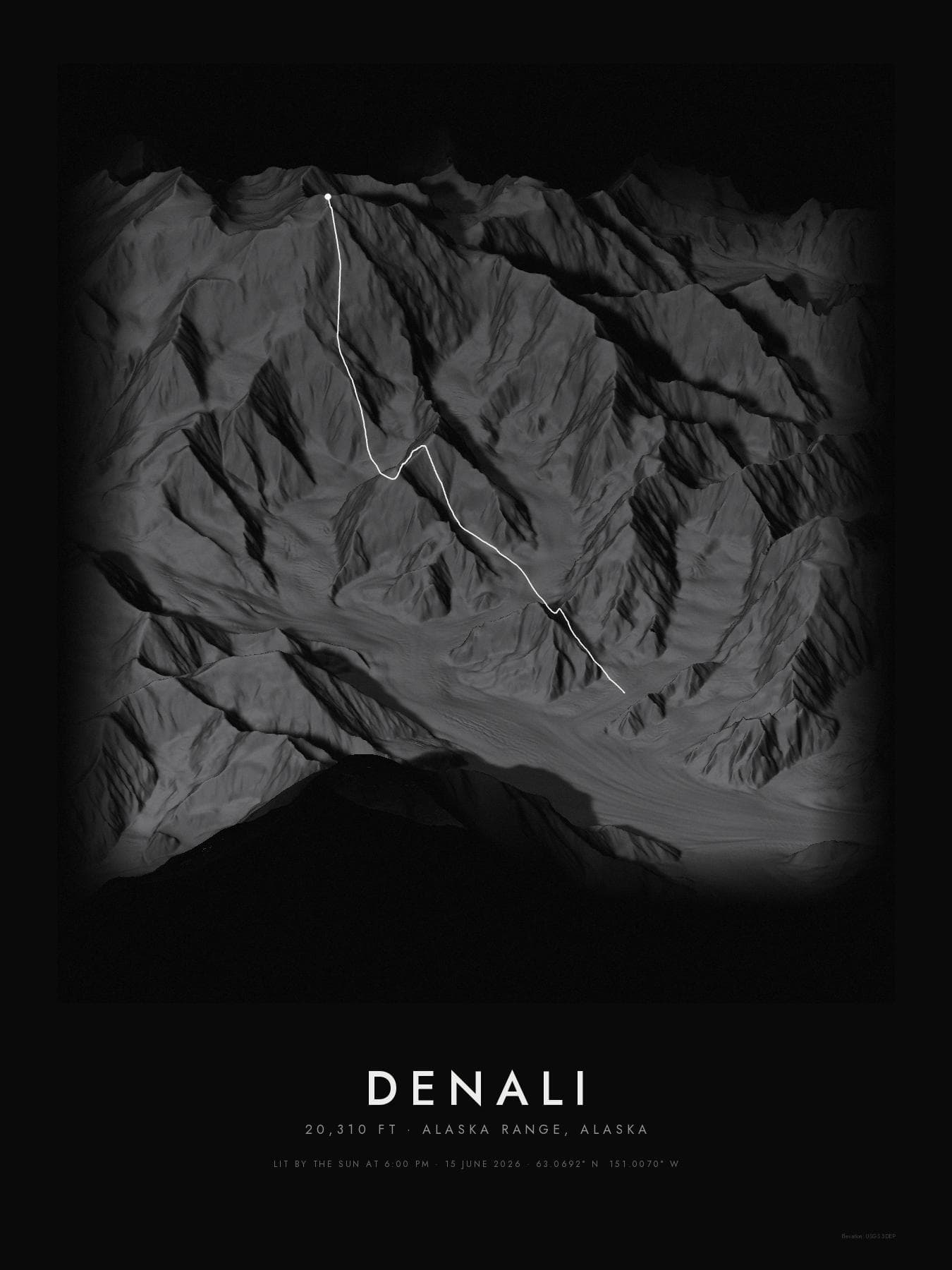
Your GPS route in white on a 3D render of the real mountain, lit by the sun the moment you summited.

Grand Teton from Mormon Row · first light

Scroll

The name

Arêtiste = arête + artiste

The ridge you climbed, and the artist who frames it.

01

ar·ête

/ə·ˈreɪt/nounmountaineering

  1. A sharp, narrow ridge between two valleys or cirques, carved where glaciers ate into the mountain from both sides.
  2. Often the line climbers follow to the top: the Hörnli Ridge of the Matterhorn is one.

From French arête, “fish bone; ridge”, from Latin arista, “ear of grain”.

02

ar·tiste

/ɑːr·ˈtiːst/nounFrench

  1. An artist.
  2. One who makes something with care and skill, as a craft and not only a product.

From French artiste, from Latin ars, “art, skill”.

=

Ar·ê·tiste

/ˌɑːr·ɛ·ˈtiːst/ · ah-reh-TEESTproper noun

  1. The artist of the ridge.
  2. Framed prints of the mountains you climbed: the real terrain, your route traced in white, lit by the sun at the minute you reached the top.

From arête + artiste. Spelled aretiste on the web.

Create your print

Questions

Before you upload.

01Do I need a GPX file?

No. Type the mountain or the trail you climbed and we draw the route for you. The search covers more than 690,000 named mountains and 170,000 named hiking routes worldwide, mapped by the OpenStreetMap community. If a mountain has no mapped trail to the top, we estimate the line over the terrain and tell you which part is estimated. Then you add the date and time you summited.

02Can I use my own GPS track?

Yes. Strava, AllTrails, Garmin Connect, Gaia GPS, Komoot and most watches can export a GPX file of your hike. If it has timestamps, we read your summit time from it; if not, you can enter it.

03What does “lit by your sun” mean?

We calculate where the sun was in the sky at the exact time and place you reached the summit, and light the terrain from that direction. A sunrise summit and an afternoon summit of the same mountain look different.

04Where does the terrain come from?

The best public elevation data available for the area: USGS lidar across much of the US (down to 1 m detail), swisstopo in Switzerland, IGN in France, and the Copernicus 30 m model everywhere else.

05What if it doesn’t look right?

If your print arrives damaged or doesn’t match the preview you approved, we’ll remake it.

06Where do you ship?

Within the United States for now.

Explore

Before you make yours.

See what other summits look like, or move the sun yourself and watch the shadows change.

Bring yoursummit home.

Upload a GPX, pick your view, and we print and ship it.

Create your print